NZ Traveller
  • Clarence River Expedition 2018
    • Clarence Valley after 7.8 quake 2017
    • Clarence Valley after devastating rain 2018
    • Kaikoura Richter 7.8
  • New Zealand
    • Franz Josef NZ
    • Victoria Range
    • West Coast NZ
    • Mount Owen
    • Fox Glacier
    • Mt Cupola, Nelson Lakes NP
    • Mt Hopeless in Autumn
  • About and Contact
Picture

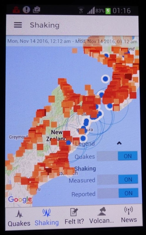
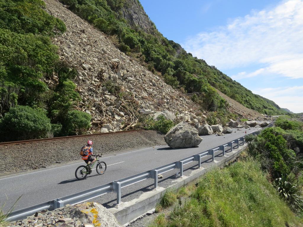
Just another Aftershock!
​

This is a screenshot of the quake app on my cell phone on the night of November 14th 2016. There were literally dozens of quakes that night. I eventually gave up on sleep and fired up the computer onto facebook to see how friends were faring.

The blue blots are quakes and the big blue circles show the epicentres of severe quakes.

Every orange square is a quake report sent to GNS (Geological and Nuclear Sciences) of severity of felt intensity for a single aftershock. This particular shake was at 1.12am, an hour after the first memorable 3 minutes of shaking.

Thousands of Kiwis were awake and sending in information.

​These shakes are still continuing and we are warned to be prepared for a 30% chance of another equally large shake. 

​A friend of a friend did a mountain-bike along the highway and took these stunning photos.

Picture
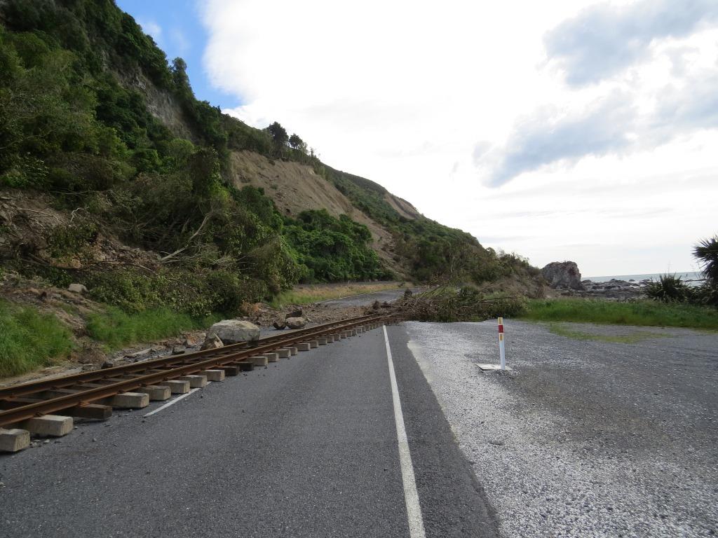
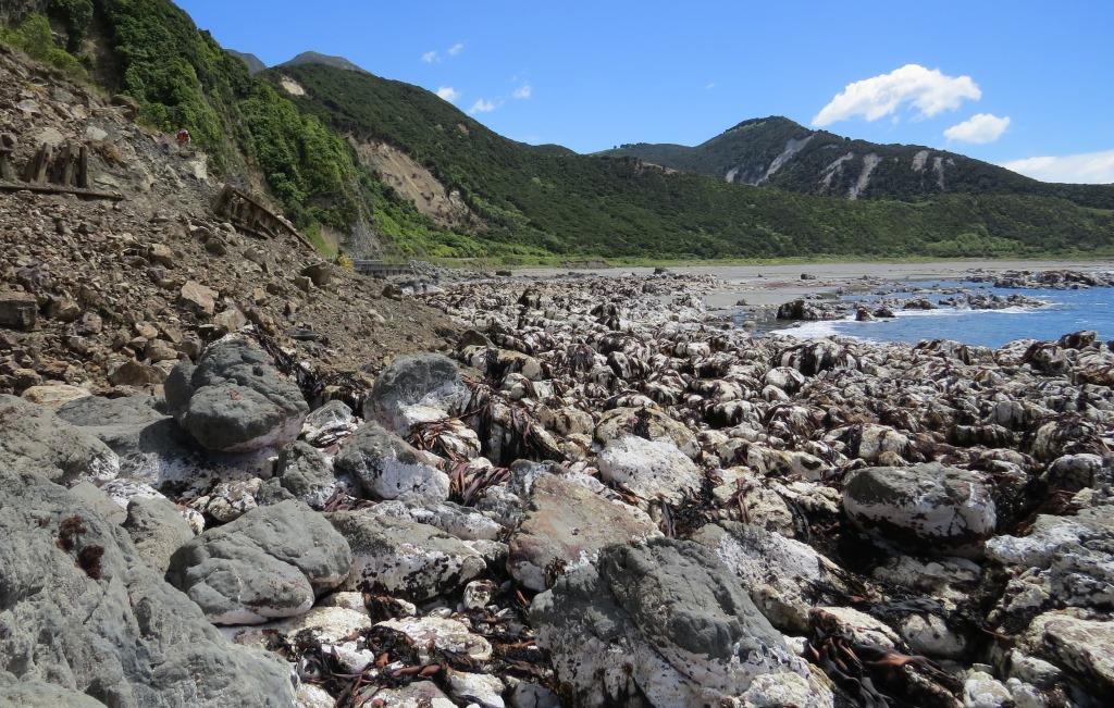
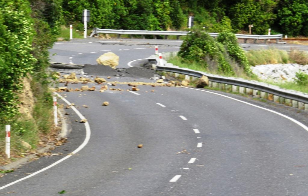
The railway used to run alongside the road.
Picture
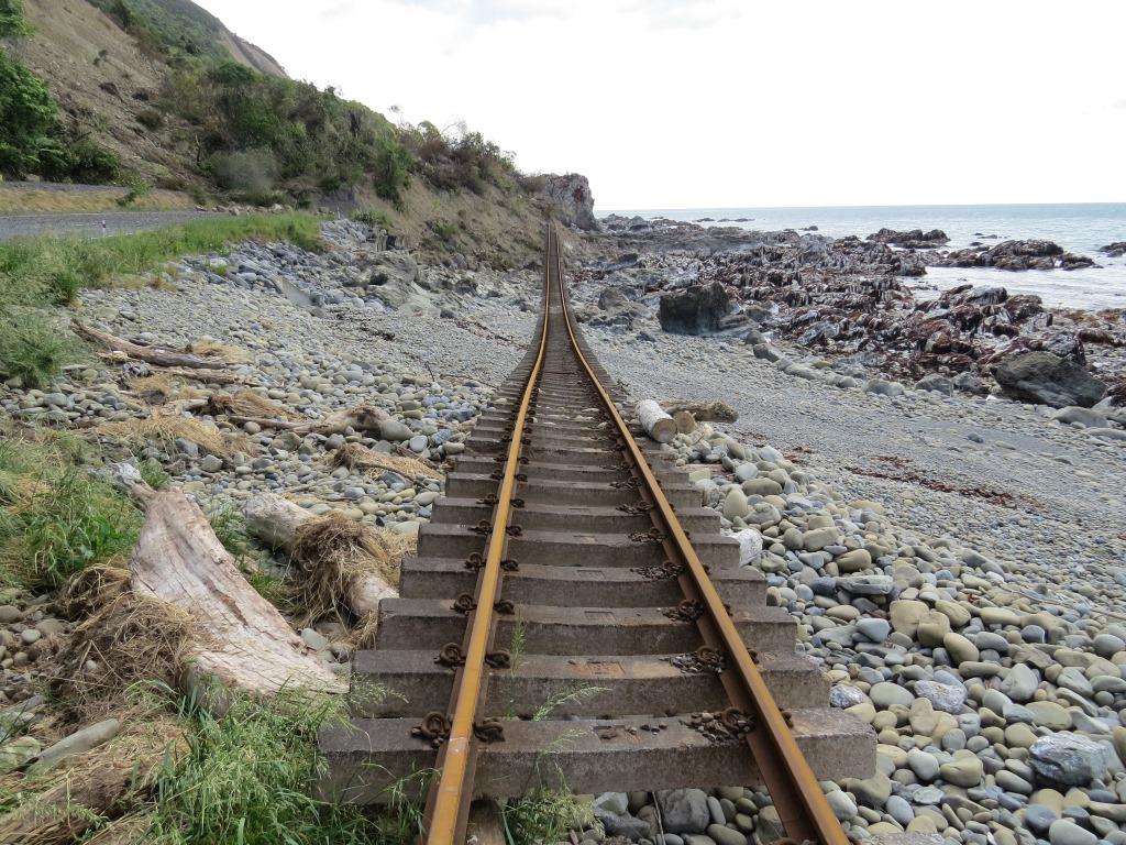
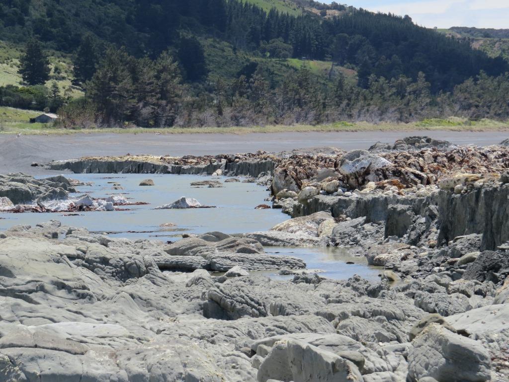
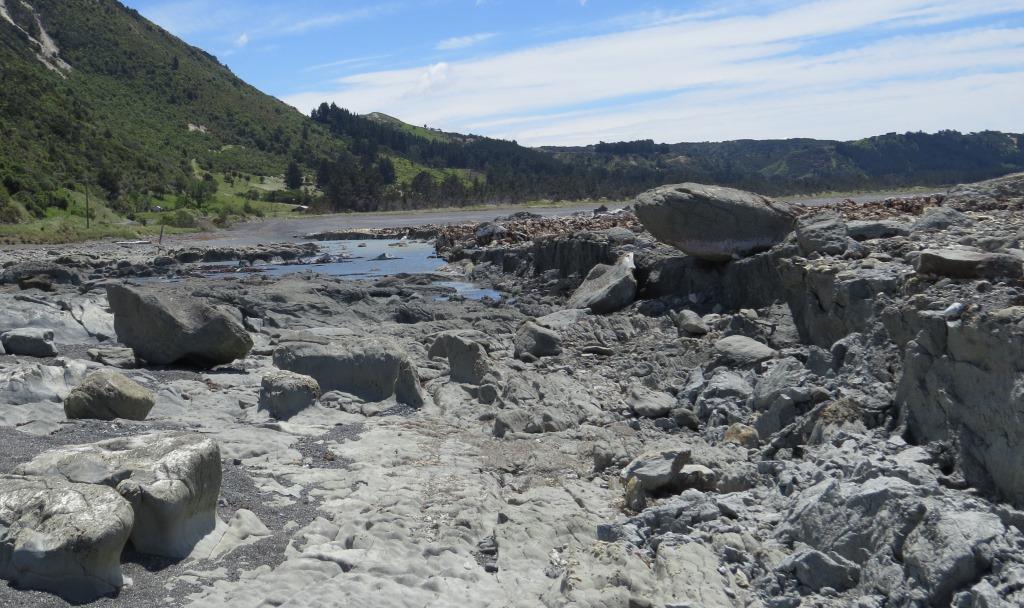
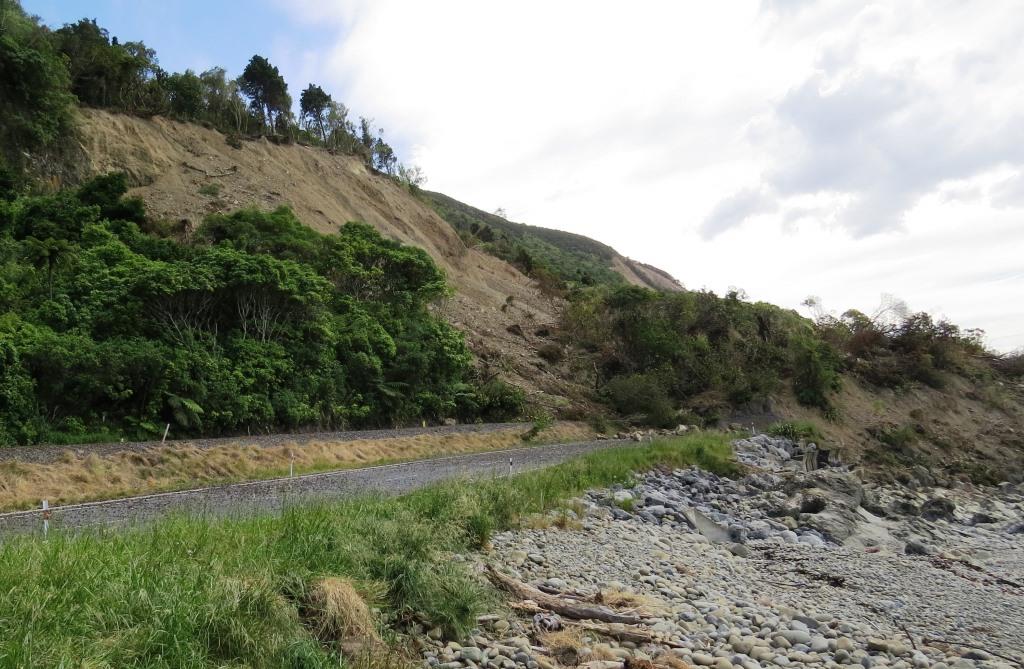
Now it's running along the beach. 

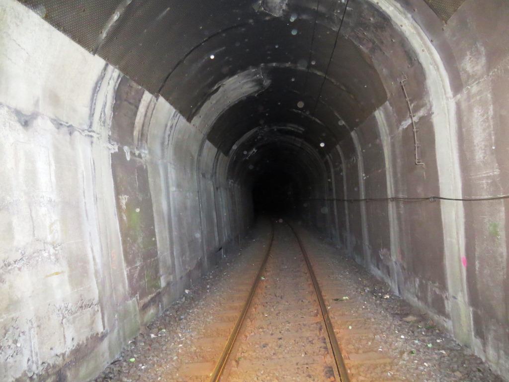
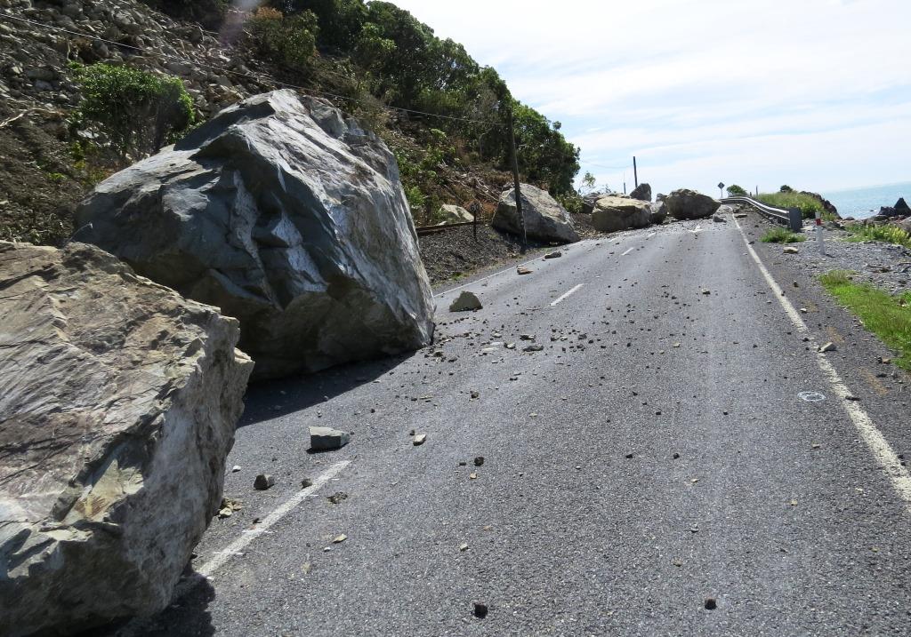
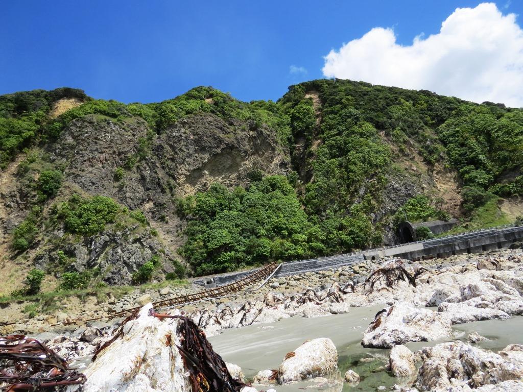
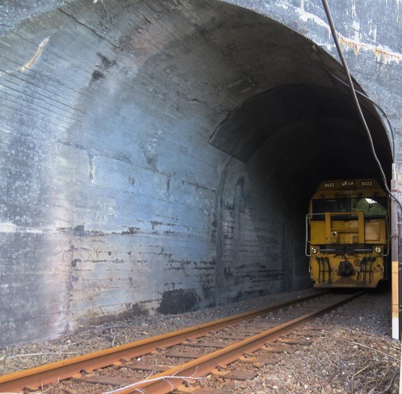
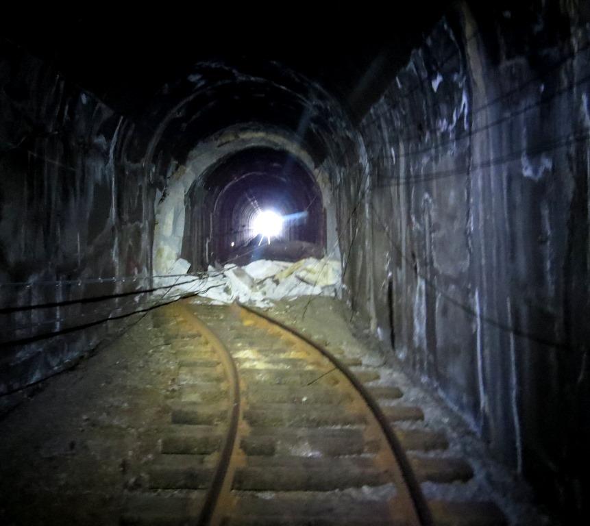
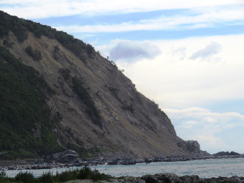
The train tunnel is on the left. The midnight driver fortunately stopped right between two of the most massive slips.
Meanwhile at Waiau, this new feature appeared
Waiau is a community of 250 people in the agricultural hinterland of Canterbury.
Picture


Powered by Create your own unique website with customizable templates.