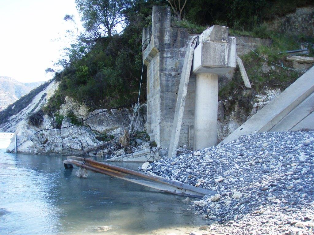
Glen Alton Bridge, after the 2016 Kaikoura quake was followed by heavy rain
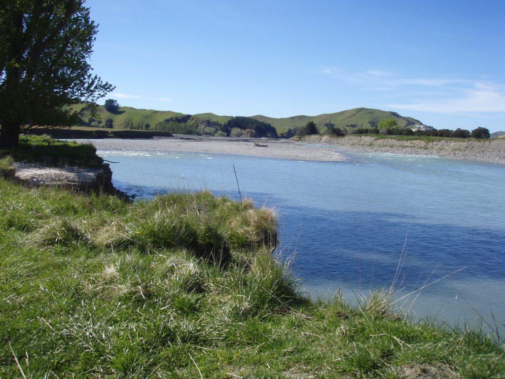
The fences are down or clogged and the fault can be seen at the far side of the field behind the cows. Below is the end of the road in March 2017. Locals had returned the river to its bed and a stopbank had been built well above river level.
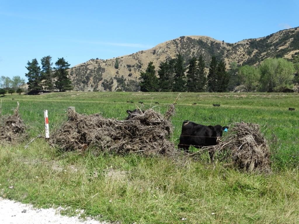
Where cows had grazed was now the wide Clarence River. Notice the fault-line and the pines on the top. The photos above and below were taken in February 2017. In February 2018 two ex-cyclones swept across New Zealand and the Clarence returned to it's new bed.
|
The Clarence Fault runs right down the centre of the river at this point. The far bank shifted upwards by about 5 metres. This not only demolished the bridge, but it diverted the Clarence river to flow across farmland.
A day after the quake more than a month's rain fell in 24 hours , and a massive amount of floating debris destroyed the fences on the farm on the left hand bank. 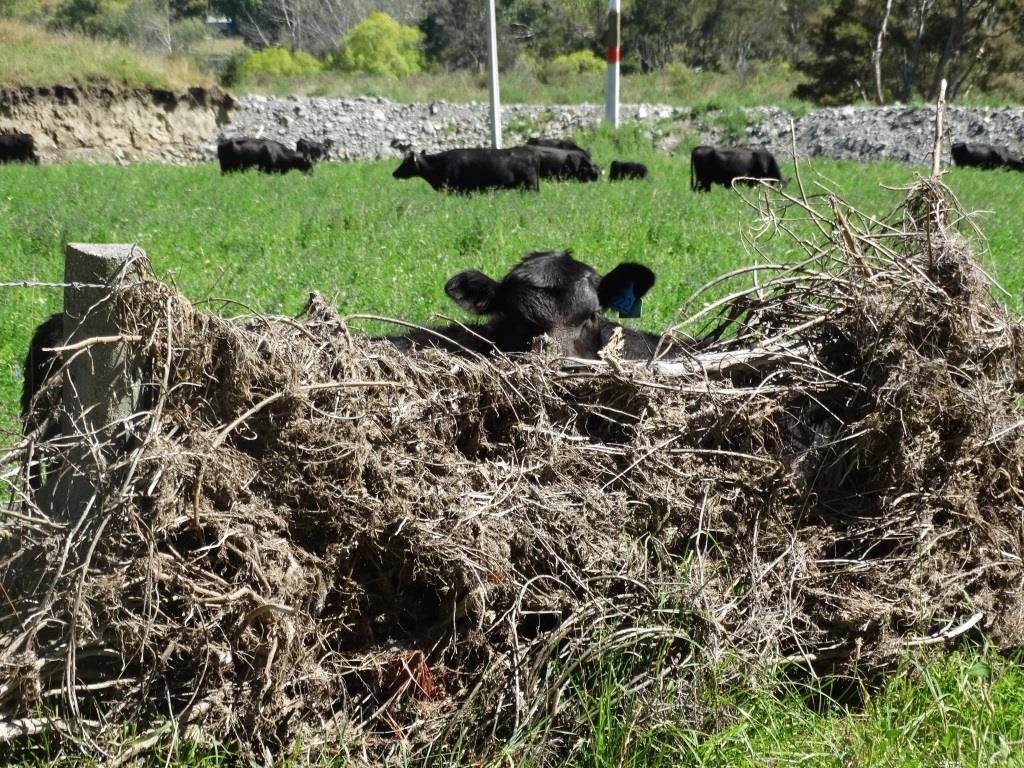
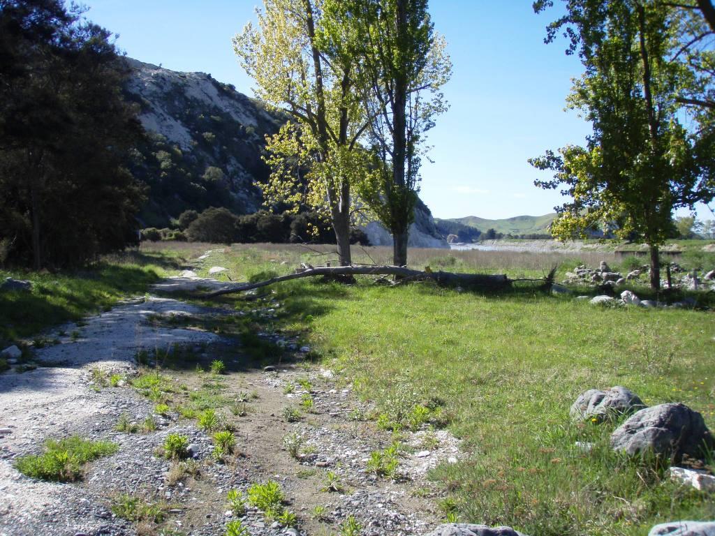
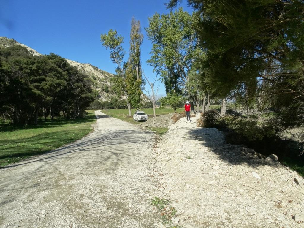
In October 2018, this was the scene that greeted us . The river had swept away the stop bank and the road surface had gone. It was plainly no longer in use and we explored further and were amazed.
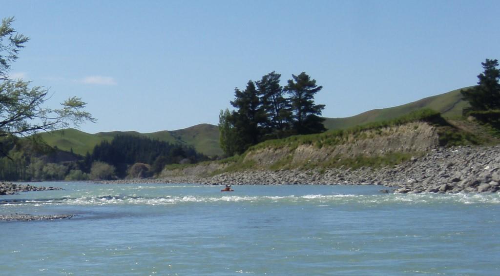
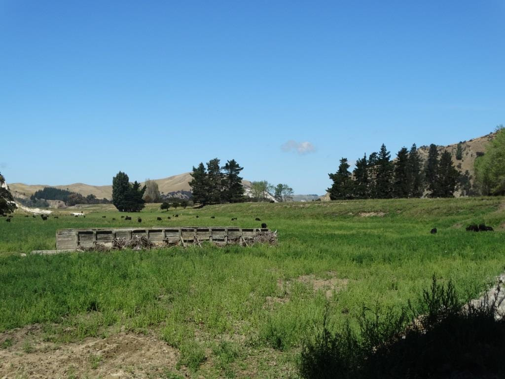
This is the same scene today, October 2018. The fault-line with the pine trees on top has become the right hand river bank. A huge acreage of farmland has been swept away. The kayaker in the photo above gives scale.
|
