|
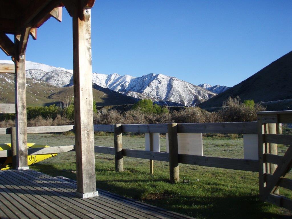
Six a.m. at the Acheron River confluence and a sharp frost. Urgh!
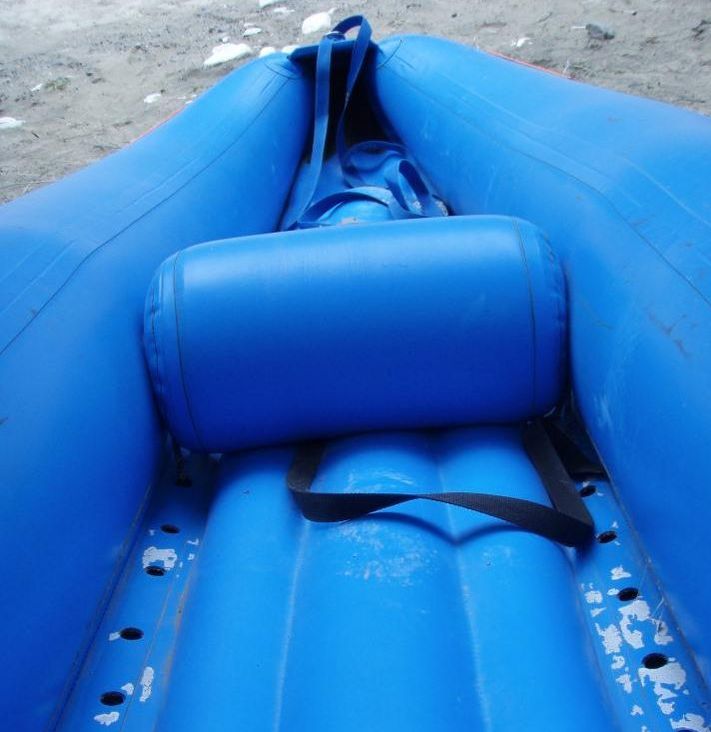
I was introduced to my 'craft' for the first time and discovered what 'self-bailing' really means! OMG! There are huge holes all along the bottom, and I can SEE the riverbed! |
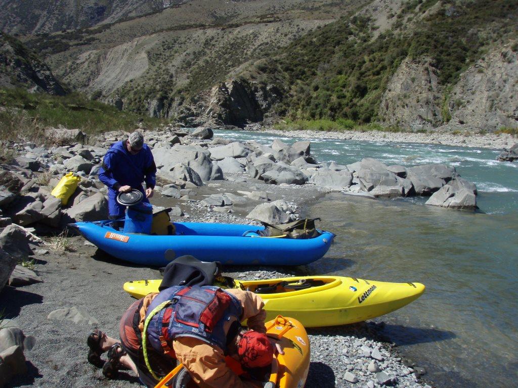
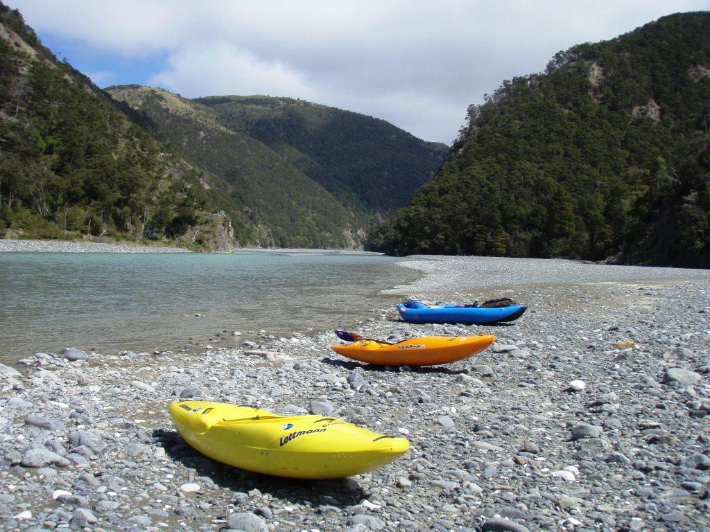
Loading Kayaks at the start of the day. The barrel had all our food for five days (er - six - just in case) and all dry clothing was in a Slepp Bag in the back of the inflatable kayak. (Ducky Yakky). Big responsibility here. It wasn't until day two that Matt informed me that he'd been well brought up and knew it was inadvisable to refer to women as carthorses!!! |
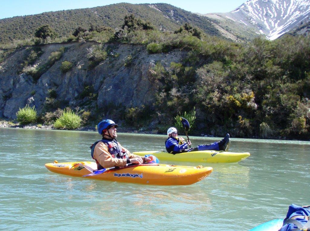
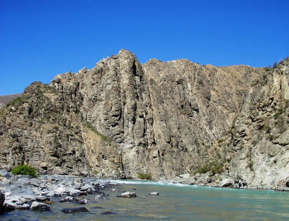
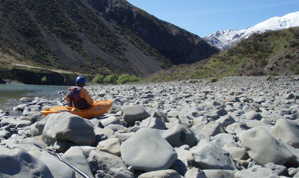
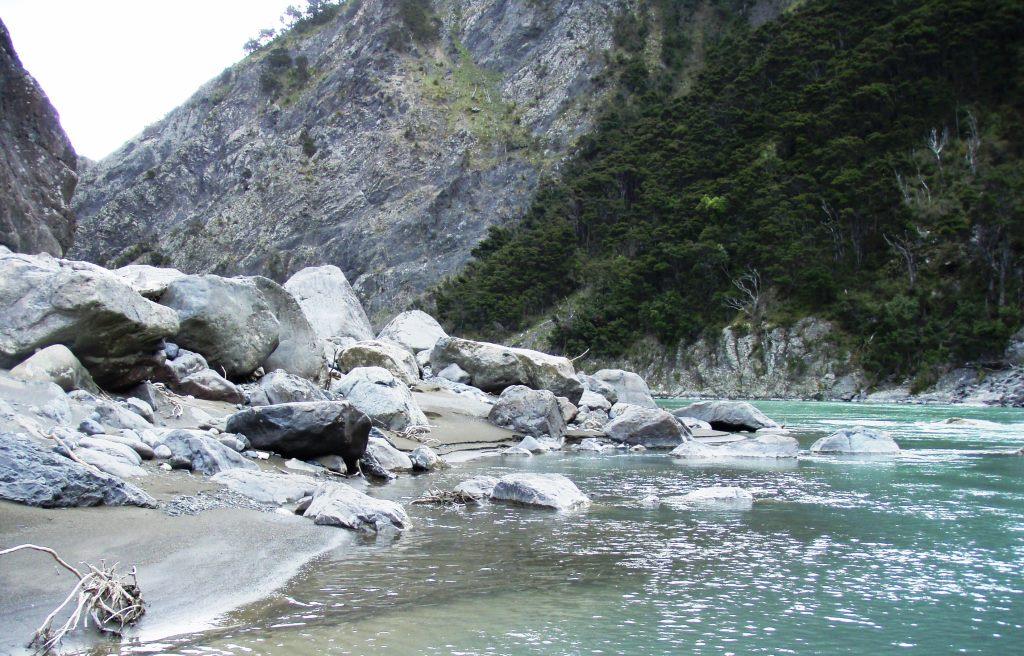
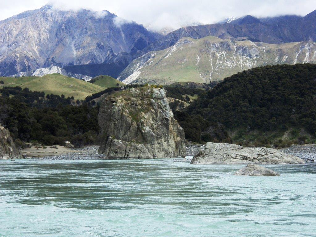
Day OneIn the flat bits we chilled out. The water had that lovely glacial touch to it, as did the snow down to the riverbanks. The banks in the upper reaches were pretty barren boulders with vertical rock and bushes.
|
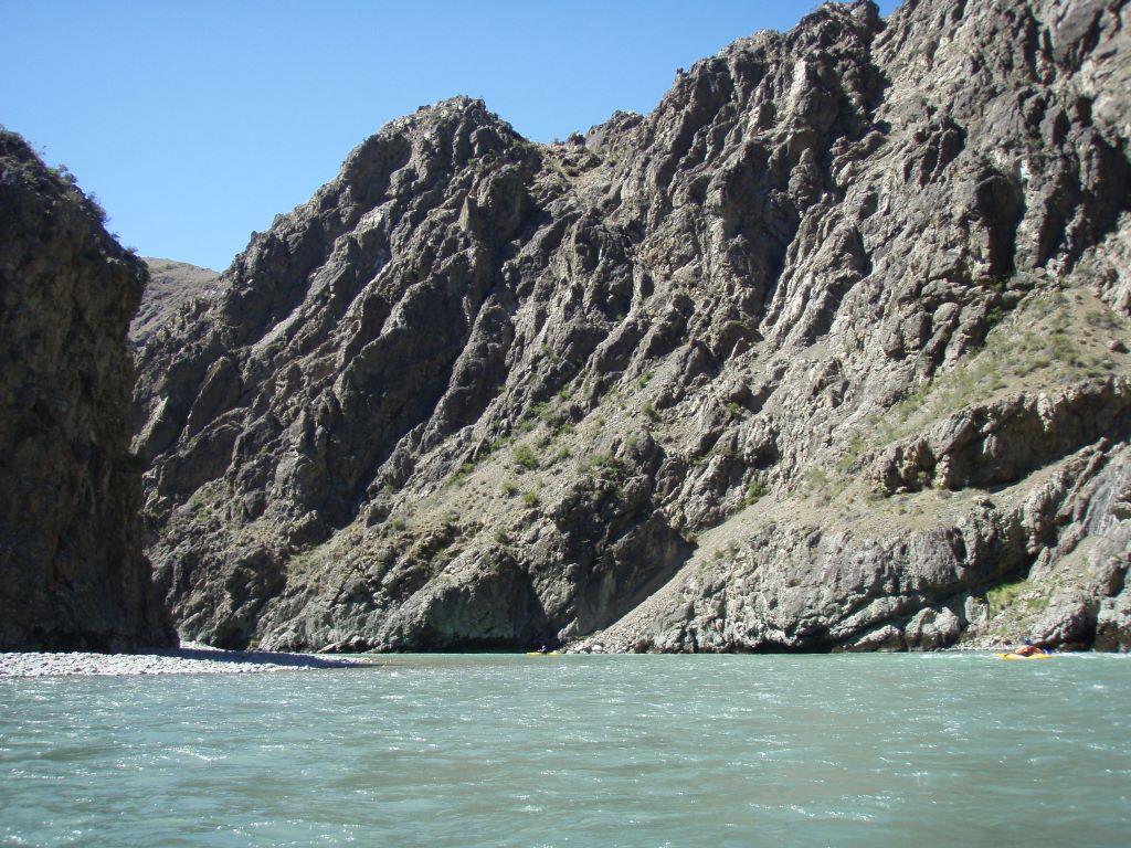
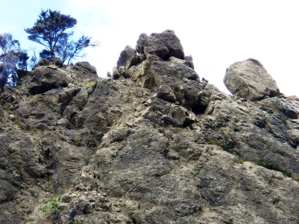
Vertical rock all the way.The underlying rock for much of the way down-river was Cretaceous, laid down in Gondwanaland - that is to say vertical from plate boundary activity. The surface layers were glacial in origin, and I suspect, not just the last one in places, but the glaciation before.
|
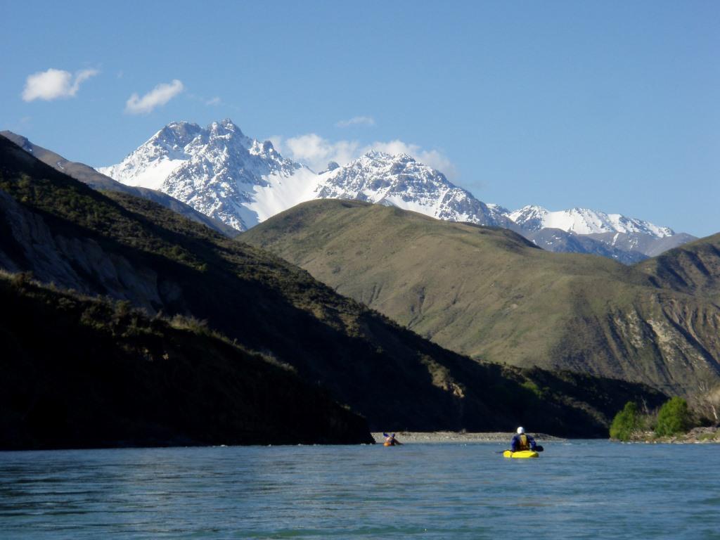
Plenty snowThe crisp clear air allowed us to see the Inland Kaikoura Range over 2 km above our heads. Magnificent and all too tempting to gaze at them too long while an insignificant rock and pour-over creeps quietly up with mischief.
|
|
We took a break before heading into the first gorge. It wasn't long before we met The Shute - a very narrow wave train with massive boulders and culminating in a rock prow with a pile of water and nasty swirl on the right, which would be horrible to escape. Huge water. Needless to say, I was not taking photographs.
On the second day it was the second gorge.
Then the third gorge!
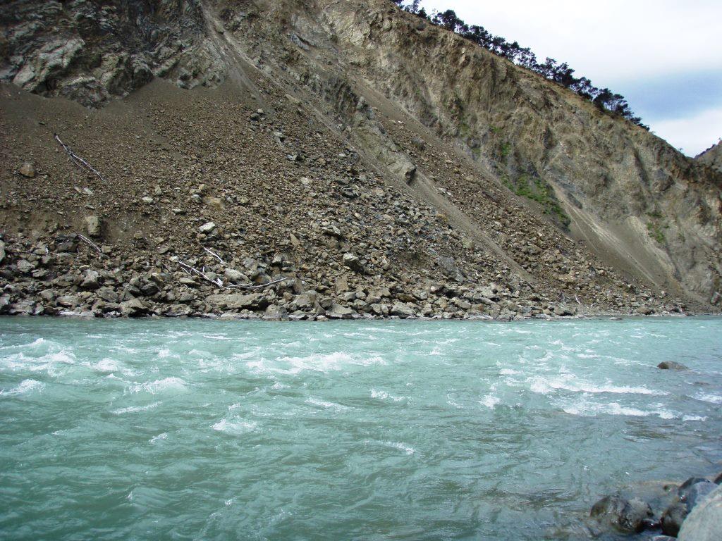
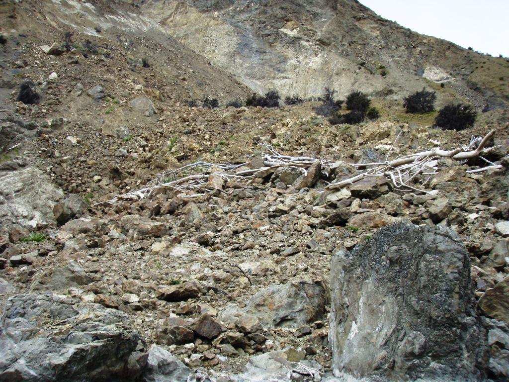
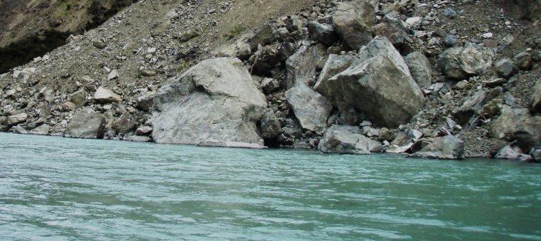
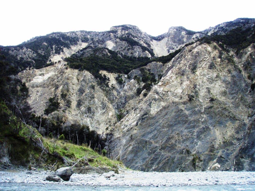
A massive slip has come down at the entrance to the third gorge. The bushes are actually trees.and this is just the lower quarter of it. I could not fit it all into the viewfinder, besides which there was a current...
|
Fortunately, it all looked quite innocent until suddenly it was all on. One can see Matt's kayak on the right. Yup, really! That tiny blip by the rock -face is Matt in his yellow Lettmann; gives scale!
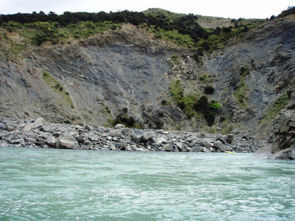
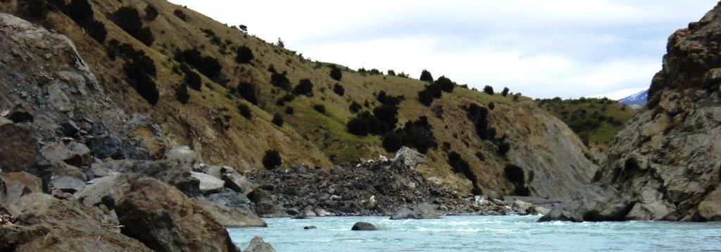
Another slip had come down from the other side and the two together had totally dammed the river. No doubt the sub tropical ex-cyclone that occurred a day after the quake quickly chewed its way through the dam. Matt can be seen at bottom right, waiting for us.
|
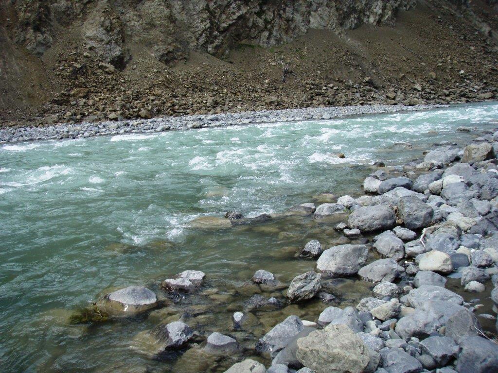
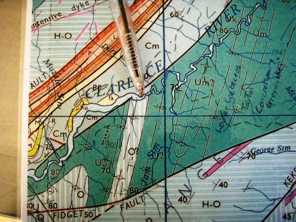
The remains of the dam can be seen in the centre, looking back upstream. We had passed it without realising what it was. The large rock in the centre of the picture midstream was one of many just below the surface. Below is the map with the pen showing where the dam occurred. We did not realise at this time that millions of cubic metres of rock had been shifted just around the next corner, forming a formidable rapid. As we came round to it, the wind blew very hard, giving me in the inflatable little choice as to route. I took the second set of massive pour-overs, avoiding the branch at the top. Matt took the right hand side which had huge stoppers and splatted against the cliff before disappearing round at right angled to God knew what. Si managed to beach briefly and picked a better route further along. Geology map below shows where this is. My guess is the dam marks the fault crossing the river.
|
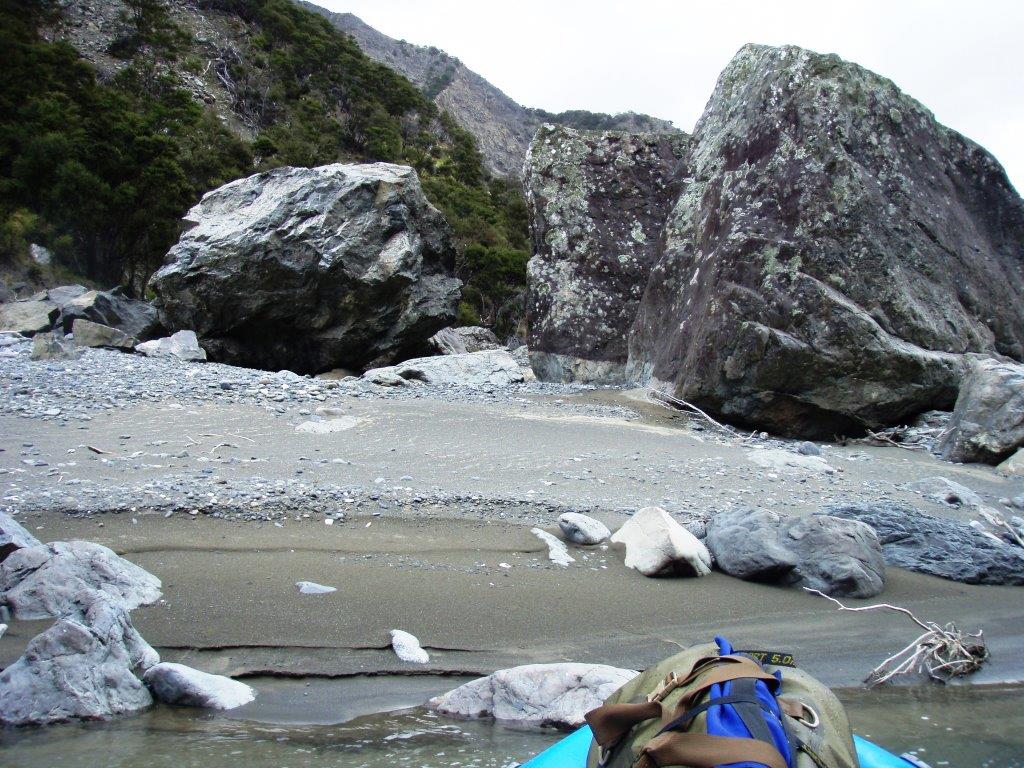
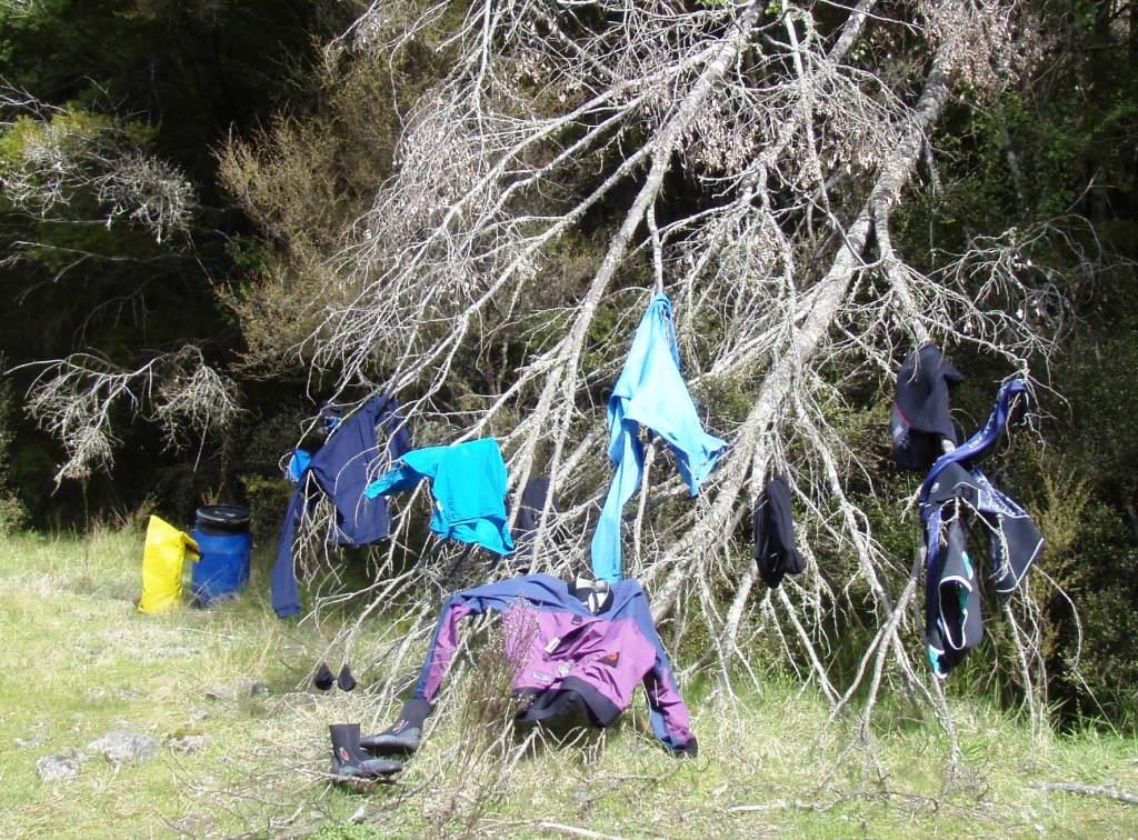
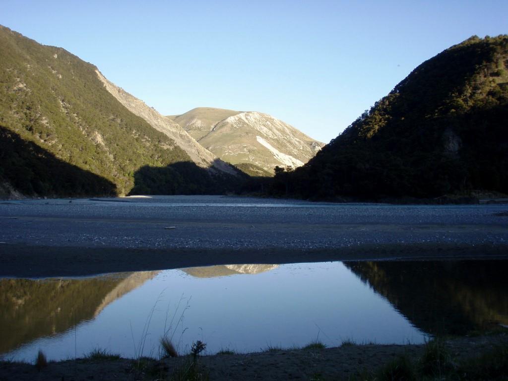
Matai Flat to bivvy for the last night. We stayed here before emerging from the third gorge into the wide, braided part of the river. The river has moved across its bed and it was a long way across the boulders to where we could hang our clothes to dry and set up camp.
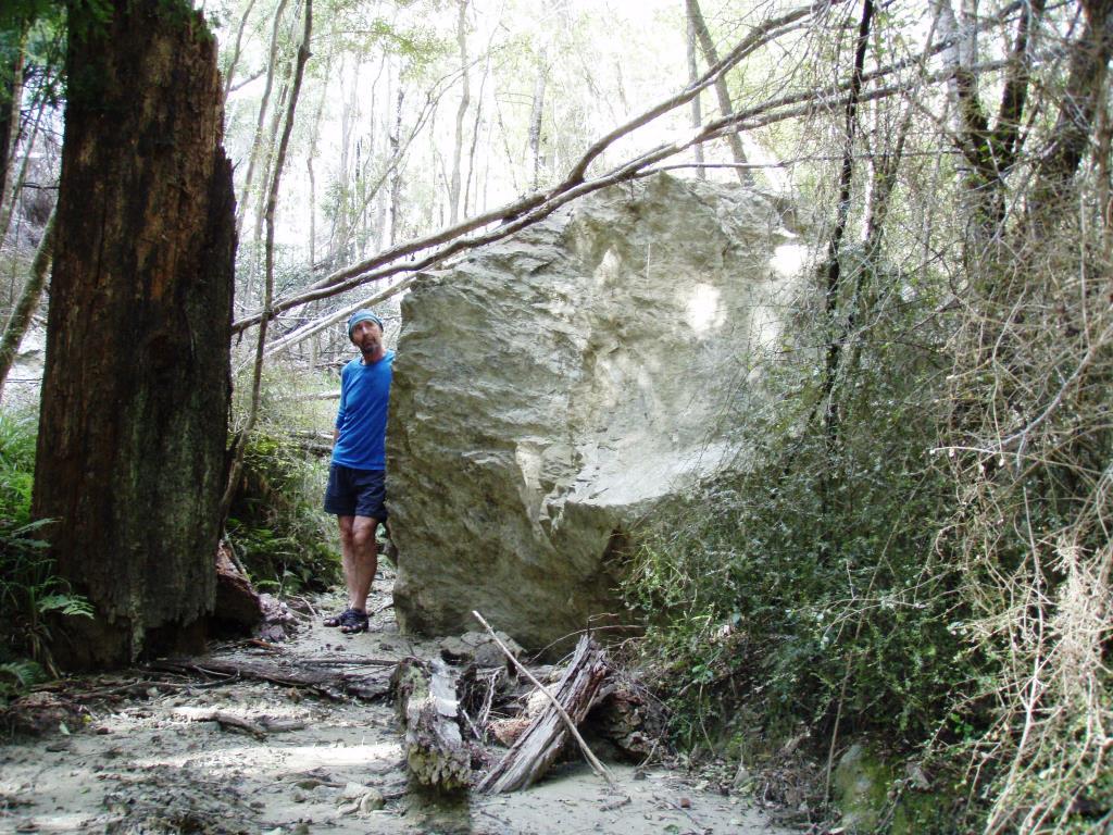
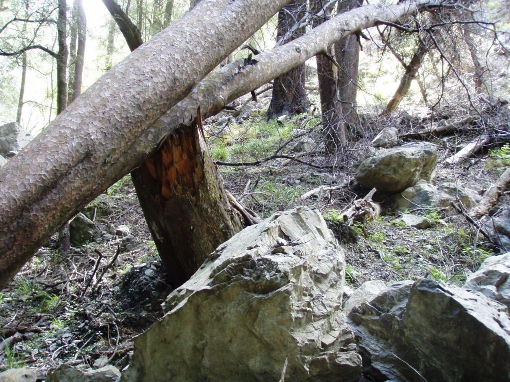
We hadn't been eating dinner for long when there was a rumbling, trickling noise. Hmm, the landslide behind the flats was still a movable feast. Every half hour through the night similar noises could be heard, some in the next valley, some closer. |
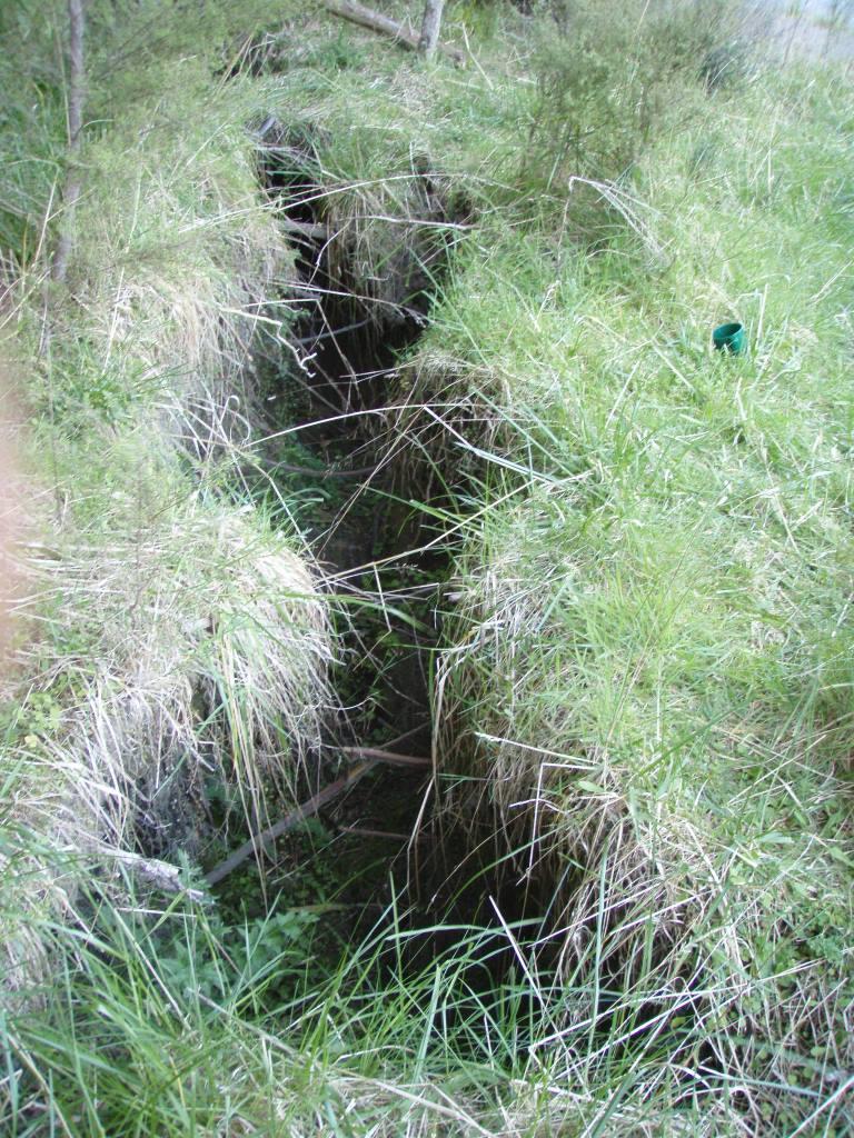
A ground rent at Matai Flats with my mug for scale. Large comforting trees around us, but ample evidence of collapse was a bit disconcerting.
A brilliant clear morning greeted us as we set off early. Partly this was to avoid the winds of later day and partly as it was Matt's 1st wedding anniversary and he would be toast if he didn't make it out to Hanmer by evening.
|
The river is the silver ribbon middle distance. The lake in the foreground has been cut off from the main river after land levels have changed. As soon as we emerged from the hills we still had a pasting for half an hour from the wind - pleased it was for no longer. I re-named my craft "The Blue Pig"; previously known as "The Elephant in the Room."
