|
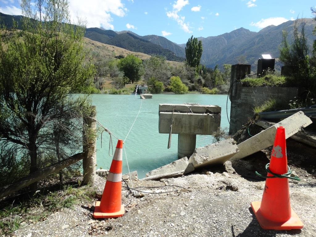
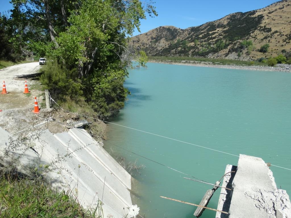
The end of the road, Glen Alton bridge. This was a fine modern bridge giving access to the community on the far bank of the Clarence River. As you can see, the river is no small consideration. It is 230km long and goes through one of the deepest valleys on earth (past Mt Tapuaeouenuku 2885m).
At present there are many landslides damming the river and as the water chews it's way through the blockages, it forms some devastating rapids. There is a new lake downstream of here which finishes with a Grade five. |
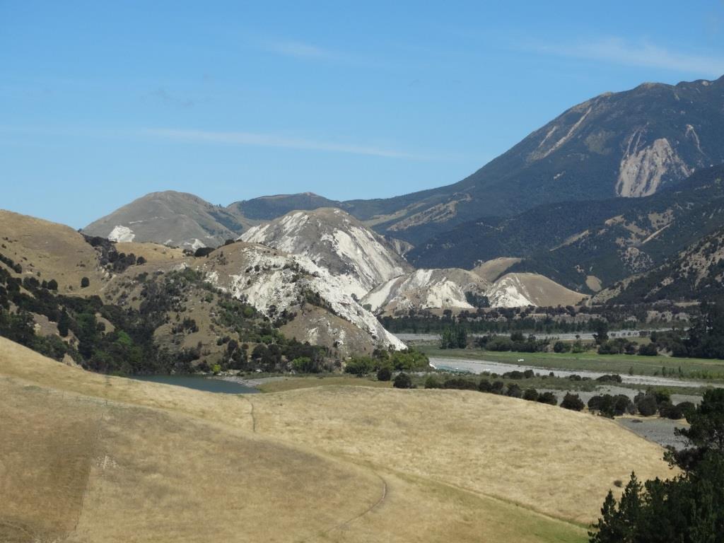
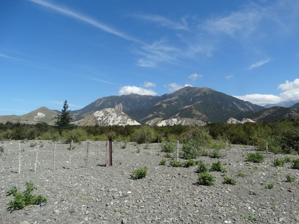
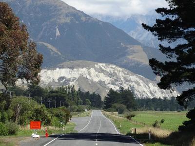
The Clarence Valley is beautiful. The white limestone bedrock was revealed when the quake caused landslides which stripped the surface. A corner of the new lake can be seen in the left hand photo. The river flows over on the right of the valley.
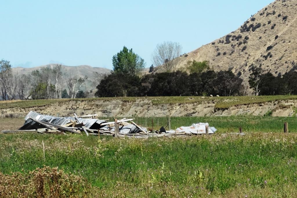
Above, a farm building's support posts, 200mm thick were sheared off. Behind it is the new 10m scar across the paddock. Sheep on the top give some scale to the uplift. My little white car is parked a respectful distance behind the bridge.
|
|
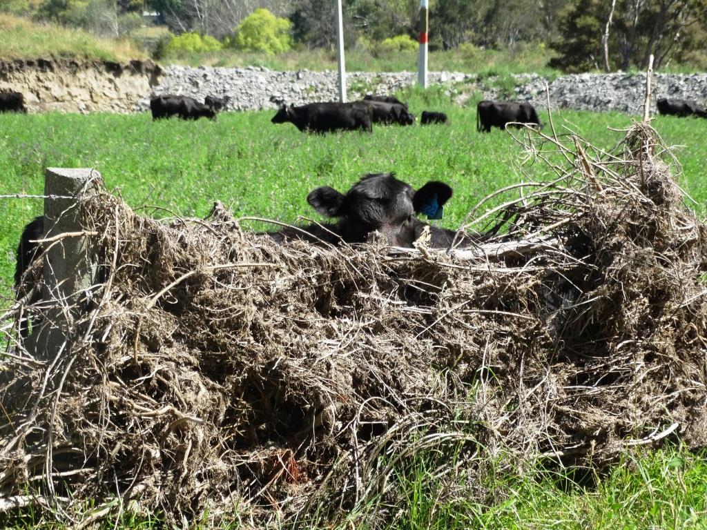
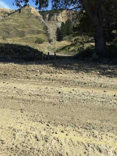
A stop bank in the background now keeps the river in its old riverbed. After the quake there was a huge weather event, a downgraded tropical depression which flooded this whole area. The twiggery finished off the damage the quake had done to the fencing.
|
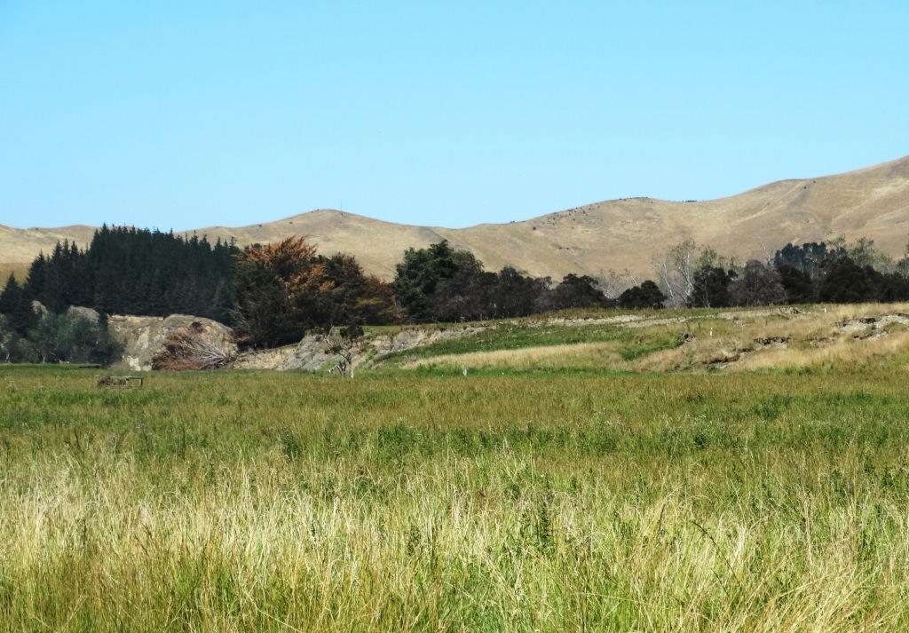
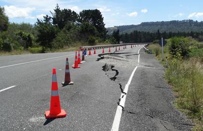
At first I thought this rise in the paddock was a stop-bank, until I realised it was up to ten metres high. This is the fault uplift. The whole thing was thrown up in a few seconds. The rupture travels at about 2 km per second, so if you time a quake in seconds, and multiply that by two you have the length of the rupture. The Kaikoura quake lasted 90 seconds and 180km was the length of the rupture. The road is nothing more than a riverbed at times. As one climbs the remains of the road up the hillside and regards the 'drop-outs' to the side which have taken out half the track one is assailed by doubts as to whether anyone sane has actually inspected it.
|
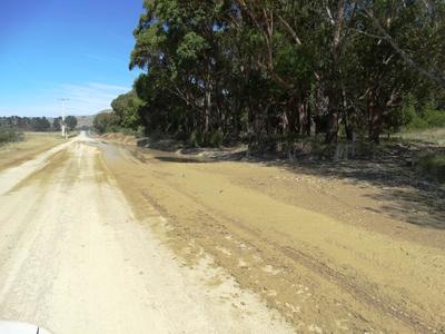
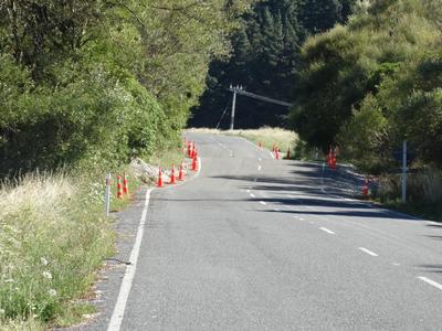
The road down the east coast of the South Island towards Kaikoura is far from easy. Massive cliffs in side valleys have sheared away, leaving landslides and piles of slurry which invade the road in any rainfall. The day I travelled, mud was six inches (150mm) deep and I was not amused by some son of a hippo driving through at 100kph while I was photographing.
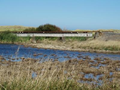
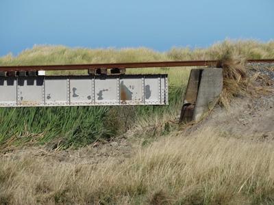
There is a 30kph limit on all the bridges on the road, and one has to negotiate a step in the tarmac up onto the bridge and down afterwards as the bridge abutments have all slumped. The railway has suffered as well as can be seen in the pictures below.
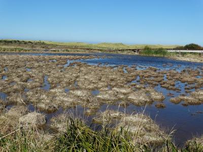
The right hand end of the Tirohanga Bridge has uplifted 1.5m and the bridge support does not meet it's abutment. The 'lake' in the foreground is formed by the Tirohanga Stream no longer going out through the uplifted dunes to the sea, but the water slowly drains through the sand.
The road ends on the far side of the Clarence Bridge, which has been vital to keep open so trucks, workers and bulldozers can access the major slips further south. I wanted to walk further, but that's not permitted. A kind lady called Debbie has an electronic clipboard which logs everyone and everything in and out of the area. Debbie used to work as Chef in the Kekerengu Cafe, but that is condemned (roof supports damaged beyond repair), so she lost her job (on top of having a 50m chasm open up at midnight right in front of her home on November 14th 2016). She is a survivor, having been in the Christchurch earthquake as well.
About 50 travellers a day still turn up at the Clarence Bridge expecting to go through to Kaikoura. While I was there, a micro-bus full of Asian tourists were dismayed to find the road closed. It is a six or seven hour drive round the mountains to their booked accommodation and they found it impossible to adapt to this new mind-set. There is NO foreign language sign to say the road is closed at any point. Back in Blenheim (90km back) there are signs saying it in English, but even Kiwis end up at Clarence, surprised the road is closed.
