|
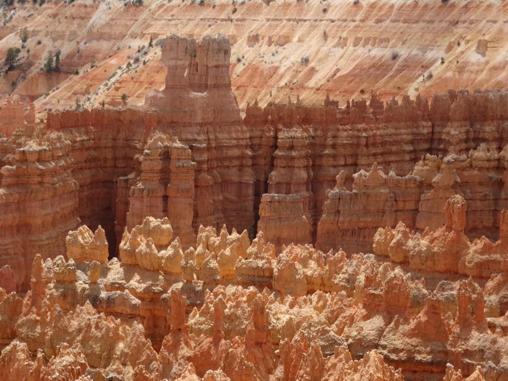
Bryce Canyon One can walk along the forested rims with viewpoints overlooking. Trails lead down among the carved pink rocks.
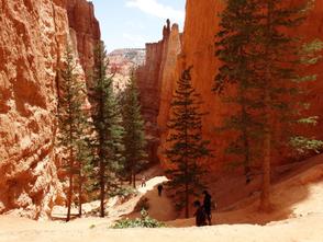
It can be very hot here in summer, but we had a cool sunny day. Snow was visible in the gullies, and more is expected at the weekend. Er... tomorrow! Below is the Navaho Trail down to the bottom of the canyon. |
Here at Bryce Canyon they have Uintah Chipmunks (left) and you can compare him with the Rock Squirrel (right)
Below Helen stands beside a tree with stones in the trunk. Present day floods have ripped off a branch and deposited stones an amazing height up the tree. Many holes in the rocks beside canyon creeks have stones in them up to four metres above the river bed. Sudden thunder storms occur in July, August and September, causing flash floods, a real danger to hikers.
Bryce Canyon Geology Colder and higher than Zion National Park, frost and snow have eroded the Paleocene and Eocene Lake deposits (Claron Formation). These silts and sandstones have a variable amount of lime, each having different hardness and eroding to an impossible terrain of spires and 'hoodoos'. The pink sandstones were laid down by streams and floods in a desert terrain. The white were laid down as lake deposits as the climate changed. Older rocks are tan or grey Cretaceous sandstone.
The spires and pinnacles form at right angles because the area to the north has a volcanic field which caused pressures, squeezing this area at the head of the Paria river, and causing cracking of the rocks; east-west the land is under extension, causing cracking at right angles to the first. Water percolating into these cracks first acts to dissolve the lime holding grains together and then freeze-thaw, nearly two hundred times a year gradually erodes the basin to form first 'fins' then lines of pinnacles.
The spires and pinnacles form at right angles because the area to the north has a volcanic field which caused pressures, squeezing this area at the head of the Paria river, and causing cracking of the rocks; east-west the land is under extension, causing cracking at right angles to the first. Water percolating into these cracks first acts to dissolve the lime holding grains together and then freeze-thaw, nearly two hundred times a year gradually erodes the basin to form first 'fins' then lines of pinnacles.


